- This event has passed.
NJADAPT: New Tools and Critical Enhancements

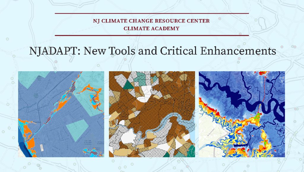
NJADAPT is a suite of data visualization and mapping tools providing critical support in planning for future climate conditions, assessing climate change related hazards, and communicating risks and hazards. Guided by input from our users, the Rutgers team has thoroughly enhanced NJADAPT with new and updated data, guidance for applying the tools to local planning, and numerous new features including links to municipal land-use, public health, and hazard mitigation planning.
Join Lucas Marxen, Associate Director, NJAES Office of Research Analytics, for an introduction to the latest release of these powerful decision-support tools, and learn how to use them in your own practice.
This virtual event is free and open to the public. Registration is required.


