


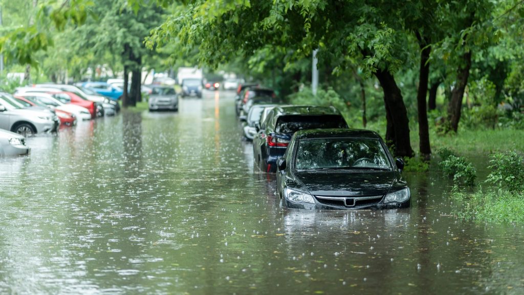
Coastal communities are on the frontlines of climate change. Rising seas, stronger storms, and more frequent flooding put homes, infrastructure, and lives at risk, especially social and economically vulnerable communities, such as Puerto Rico. A new study published in Scientific Reports introduces an innovative, AI-powered framework to track and analyze coastal water levels in places that lack advanced monitoring systems.
The study was co-authored by Roger Wang, RCEI Affiliate, Associate Professor in Rutgers Department of Civil and Environmental Engineering.
Traditional methods for tracking tides and flooding, such as sensors and satellite data, can be expensive, limited in coverage, or too slow to capture fast-changing events like storm surges. To overcome these gaps, the authors combined new tools: solar-powered cameras, advanced image processing models, and data analysis techniques. One highlight was the use of the “Segment Anything Model” (SAM), an AI tool that can distinguish between water and land in real-world photos—even in difficult lighting conditions. This allowed researchers to estimate water levels more accurately and continuously.
The team tested their framework in Puerto Rico, an area that has faced devastating hurricanes and coastal flooding. By blending camera data with AI-based analysis, they could detect tidal cycles, storm-driven water changes, and even subtle shifts in coastal patterns. Compared with traditional tidal gauges, their system showed strong accuracy, making it a promising tool for regions where standard equipment is too costly or difficult to maintain.
Beyond advancing climate science, this research has real-world benefits. Affordable and adaptable coastal monitoring could help governments and communities prepare better flood defenses, improve disaster response, and plan infrastructure with future sea level rise in mind.
“By making coastal monitoring more affordable and smarter, we can empower vulnerable communities to prepare for flooding and adapt to climate change,” said Wang. “This technology has the potential to save lives and protect critical infrastructure.”
The study’s approach could also be applied in New Jersey, where coastal towns face many of the same risks as Puerto Rico, including sea level rise, stronger storms, and increasing flood hazards. Tools like this could give local decision-makers more reliable, affordable information to plan for a safer, more resilient future.
You can read the full study here.
This article was written with assistance from Artificial Intelligence, was reviewed and edited by Oliver Stringham, and was reviewed by Roger Wang, a co-author on the study.
Related posts:
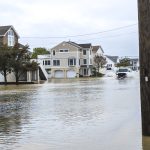 Analyzing Impact of Climate Flooding Images and Political Cues in News Coverage
 How Puerto Rican Communities Stepped Up After Hurricane María
 The Most Cost-Effective Approaches to Protect Against Rising Seas Are Flexible, Adaptable
 Rutgers Scientists Help Shore Fish Harvesters Implement Adaptive Strategies to Climate Change