








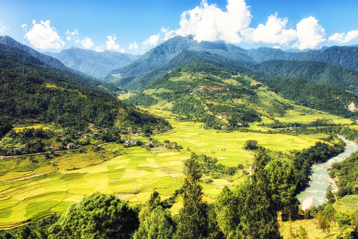
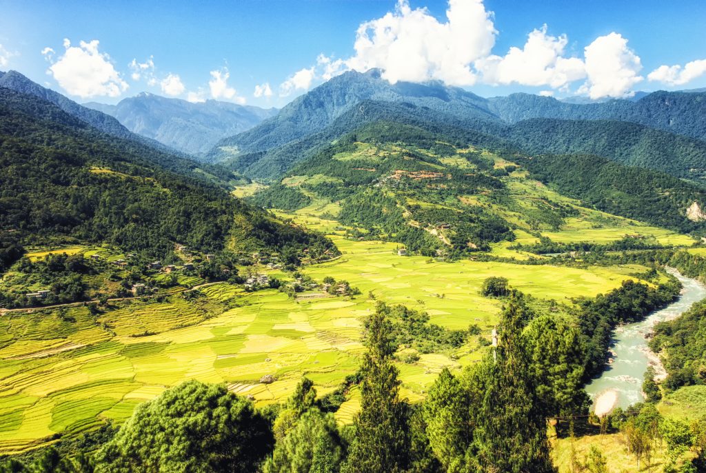
Image by atosan, licensed via Adobe Stock (Education License)
Billions of people across Asia depend on rivers fed by glaciers and snowpack high in the mountains. But as the climate warms, those rivers are changing — and predicting exactly how is harder than it sounds. A new study takes a closer look at how we can improve those predictions, and why it matters for water supplies, hydropower, and flood risk.
RCEI Affiliate Efthymios Nikolopoulos, Associate Professor in the Department of Civil and Environmental Engineering at Rutgers University, is the corresponding author on the study, published in the journal Frontiers in Water and funded by NASA’s High Mountain Asia program. The research focuses on High Mountain Asia (HMA) — a region spanning countries like Pakistan, Nepal, and Bhutan that is sometimes called the “water tower of Asia.”
The core problem: the global computer models scientists use to simulate future climate are too coarse to capture what’s happening in rugged mountain terrain. Think of trying to describe a detailed mountain landscape using only a blurry, low-resolution photo. To fix this, researchers use a process called “downscaling” — essentially sharpening that blurry picture using local weather data.
In testing two downscaling methods across five river basins, both methods significantly reduced errors across different climate models, particularly during the seasons when precipitation is highest. Ultimately, the choice of climate model had a bigger influence on future projections than which downscaling method was used.
Looking ahead, under a high-emissions scenario, the computer models predict that the rainfall-runoff portion of streamflow will increase across all five basins, while snowmelt will decline in central and eastern parts of HMA. Overall water availability and extreme flood events are both expected to rise by the end of the century.
“These findings highlight that without proper downscaling, we risk making poor decisions about water infrastructure and flood protection in some of the world’s most vulnerable regions. Getting the projections right is not just a scientific exercise — it directly affects how communities plan for their water future.” — Efthymios Nikolopoulos
These findings have real-world consequences. Governments and planners in the region are making major investments in hydropower — some plants discussed in the study have a combined generating capacity of more than two thousand megawatts. Knowing how much water these rivers will carry, and when, helps avoid building infrastructure that is over- or under-designed. Similarly, better flood projections can guide where and how to build flood defenses, potentially protecting lives and communities downstream.
You can read the full study here: https://doi.org/10.3389/frwa.2025.1611141
This article was written with assistance from Artificial Intelligence, was reviewed and edited by Kenneth Tam, and was reviewed by Efthymios Nikolopoulos, corresponding author of the study.