


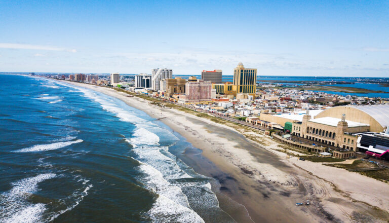
The Department of Environmental Protection announced the launch of an online mapping tool that will help the public, stakeholders and government officials advance work that is needed to bolster the resilience of New Jersey’s coastal areas to climate change.
The Coastal Ecological Restoration and Adaptation Planning Tool (CERAP Tool), provides the locations of at-risk areas, coastal resource restoration sites, and other data that will greatly assist in the targeting, development and coordination of projects needed to adapt communities to rising sea levels, increased flooding and more severe storms associated with climate change. The tool was developed in partnership with Rutgers University’s Center for Remote Sensing and Spatial Analysis, which is led by RCEI Affiliate Richard Lathrop, professor in the Department of Ecology, Evolution and Natural Resources.
Read the full article at SEBS and NJAES Newsroom.
Related posts:
 Rutgers Plays Vital Role at the 2025 New Jersey Agricultural Convention
 4-H STEM Ambassadors Participate in Sustainability Summit ‘23 at Rutgers
 Rutgers to Lead $16 Million in Climate Projects Along New Jersey Coast
 Rutgers Scientists Observe Unusual Ocean Conditions Possibly Linked to Mortality in Marine Life off New Jersey