








Rutgers Climate Symposium 2012
- 2025-2026
- 2024-2025
- 2023-2024
- 2022-2023
- 2021-2022
- 2020-2021
- 2019-2020
- 2018-2019
- 2017-2018
- 2016-2017
- 2015-2016
- 2014-2015
- 2015 — Global Climate Change and Inequality Local to Global Perspectives
- 2015 — Climate Change and Agriculture in NJ
- 2014 Rutgers Climate Symposium — Climate Change and The Tropics: Implications and Adaptation
- 2014 — Why Our Brains are Wired to Ignore Climate Change with George Marshall
- 2014 — Framing Climate Change
- 2013-2014
- 2012-2013
- 2013 — Earth Day Events
- 2013 — Do The Math: Why Climate Change Matters and What You Can Do About it with Bill McKibben
- 2013 — The Pico Power Revolution: Off-Grid Energy Solutions for Low Income People in Africa, Asia, and Beyond
- 2012 Rutgers Climate Symposium
- 2012 — The Hockey Stick and Climate Wars: Dispatches from the Front Lines
- 2012 — The Island President Film Screening
- 2012-2013 Polar Speaker Series
- 2012-2013 Climate and Society Seminar Series
- 2011-2012
- 2011 & Older
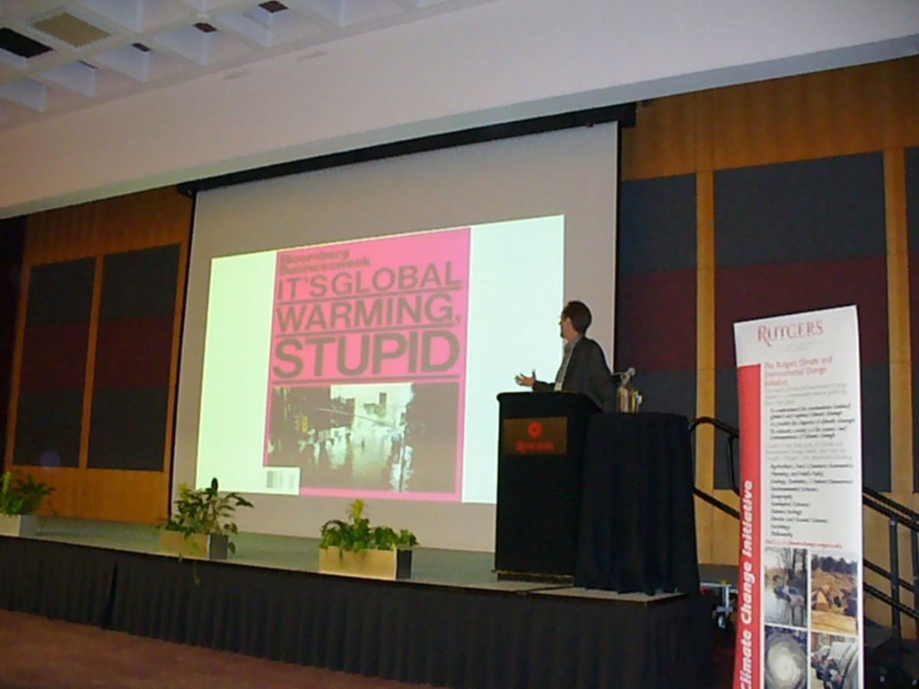
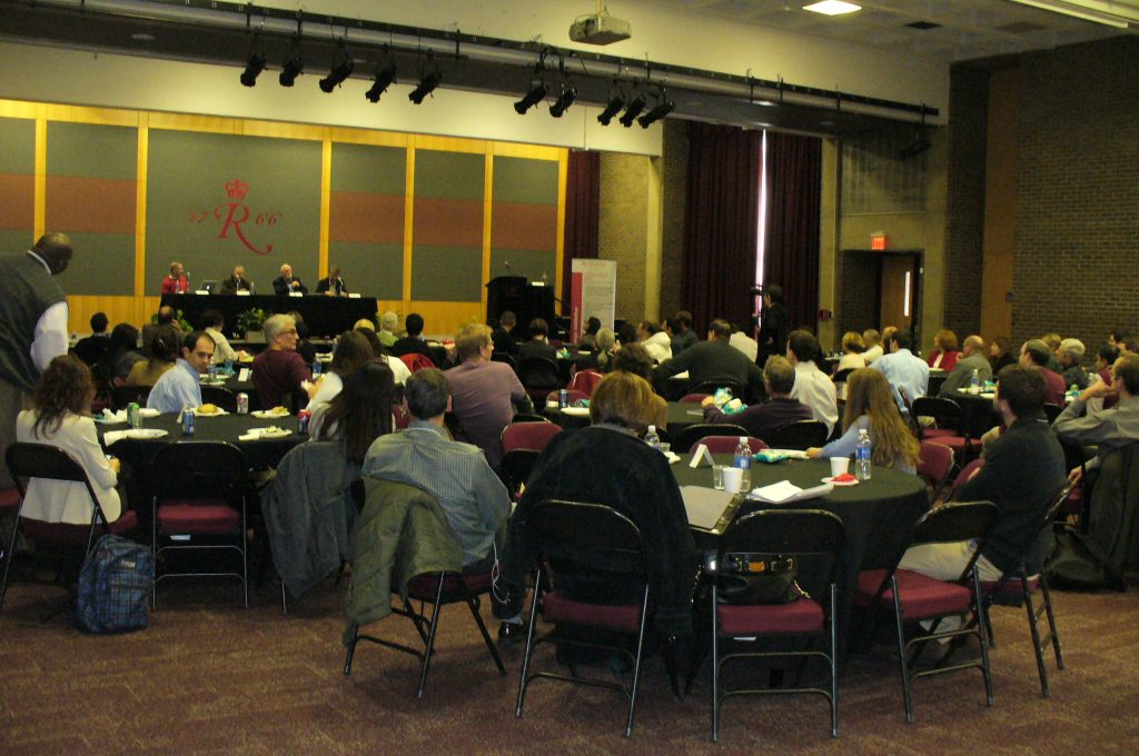
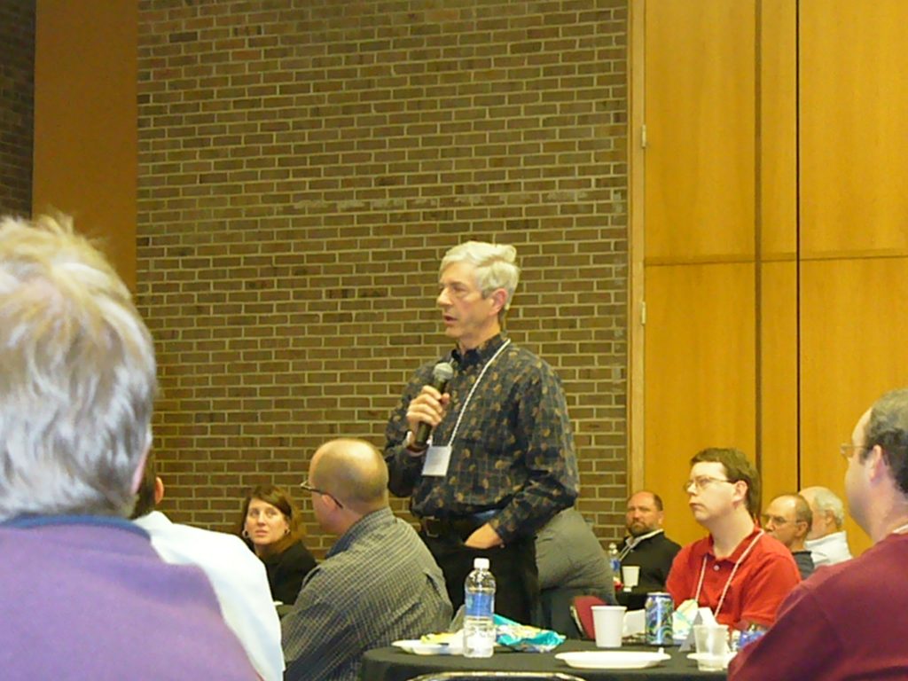
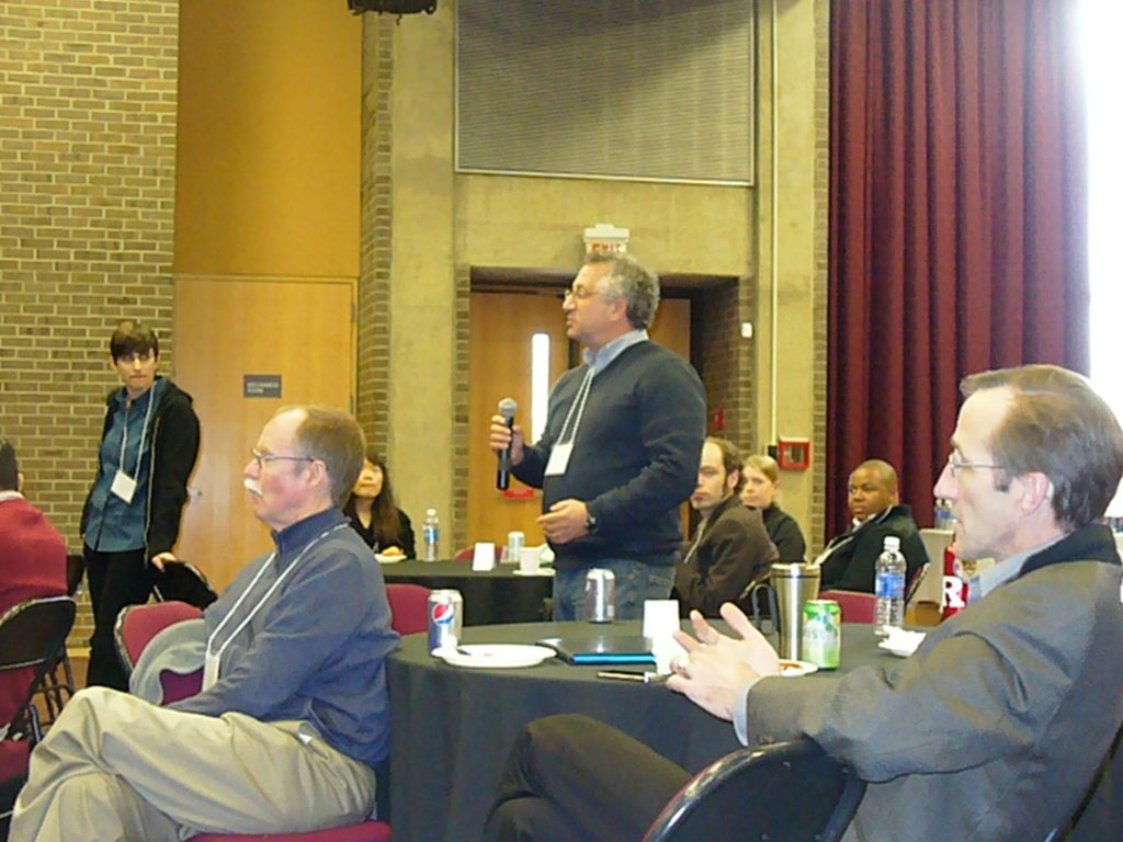
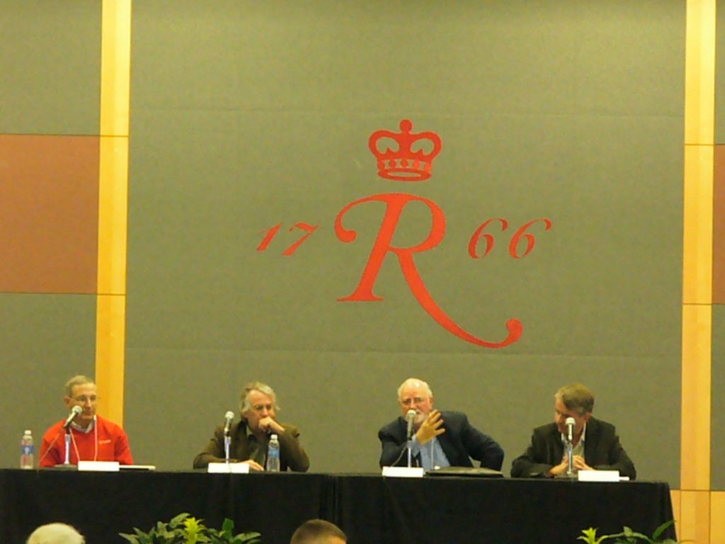
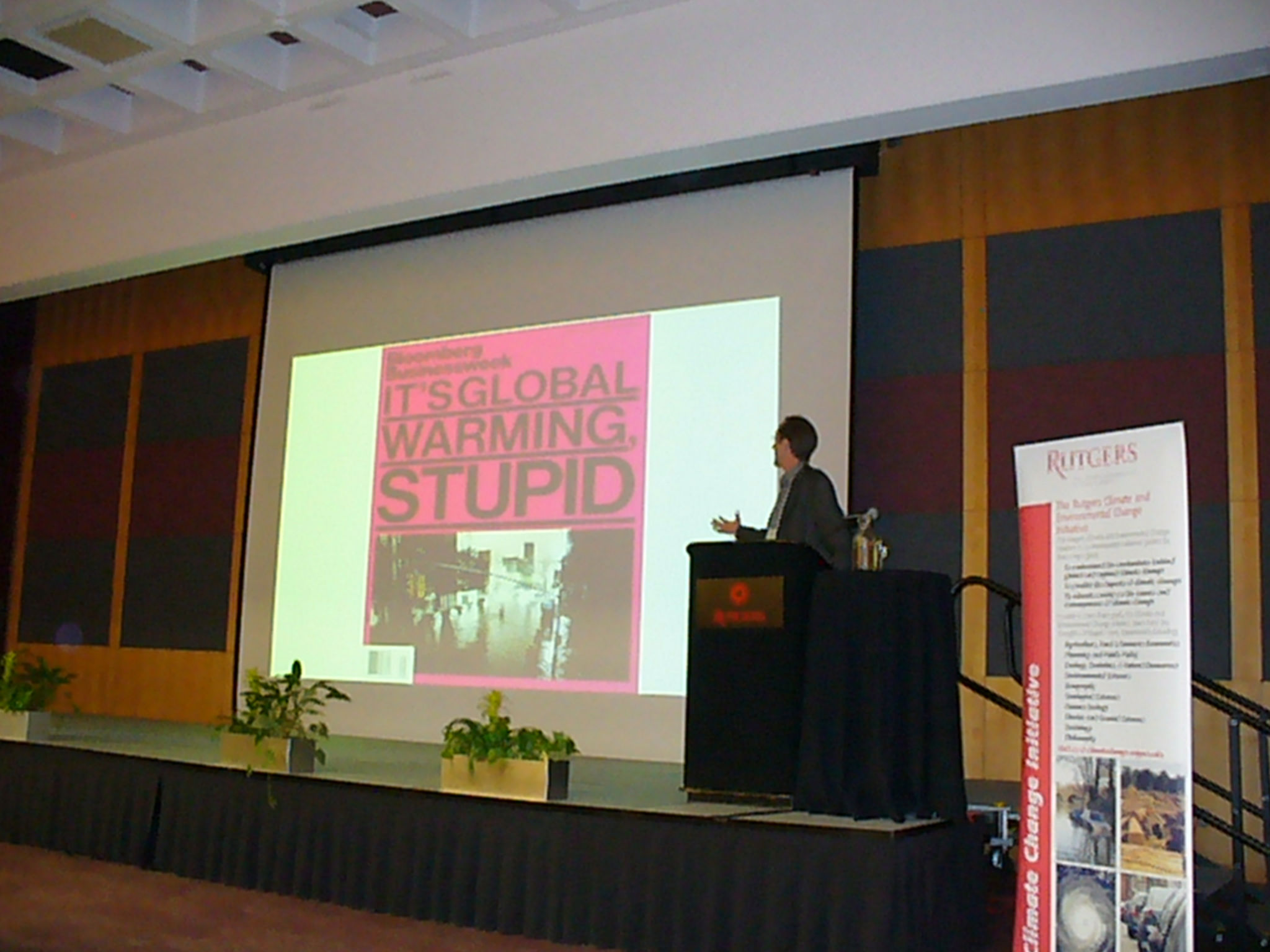
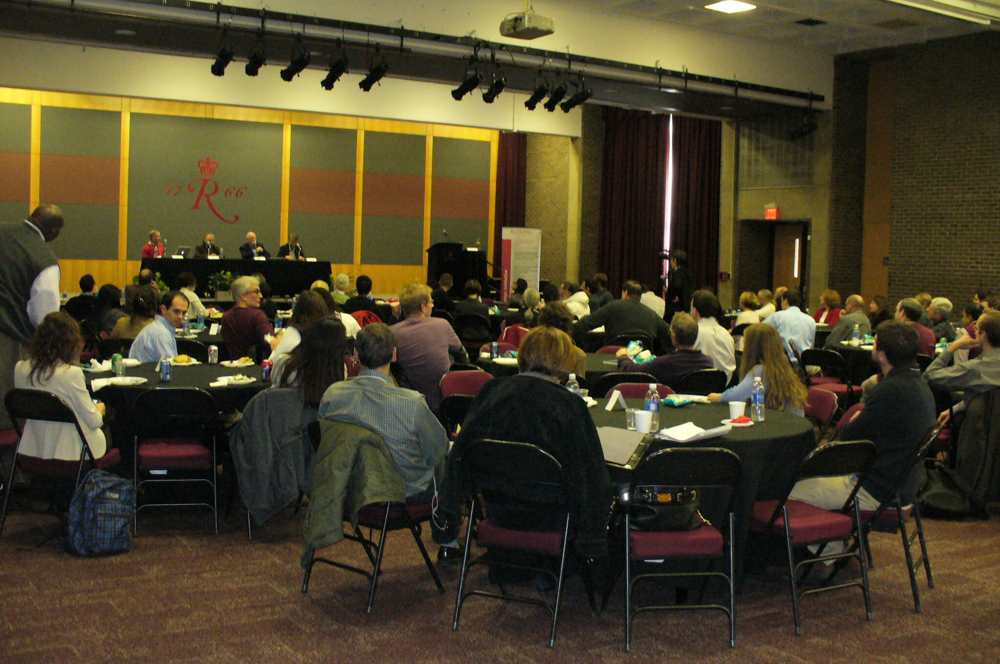
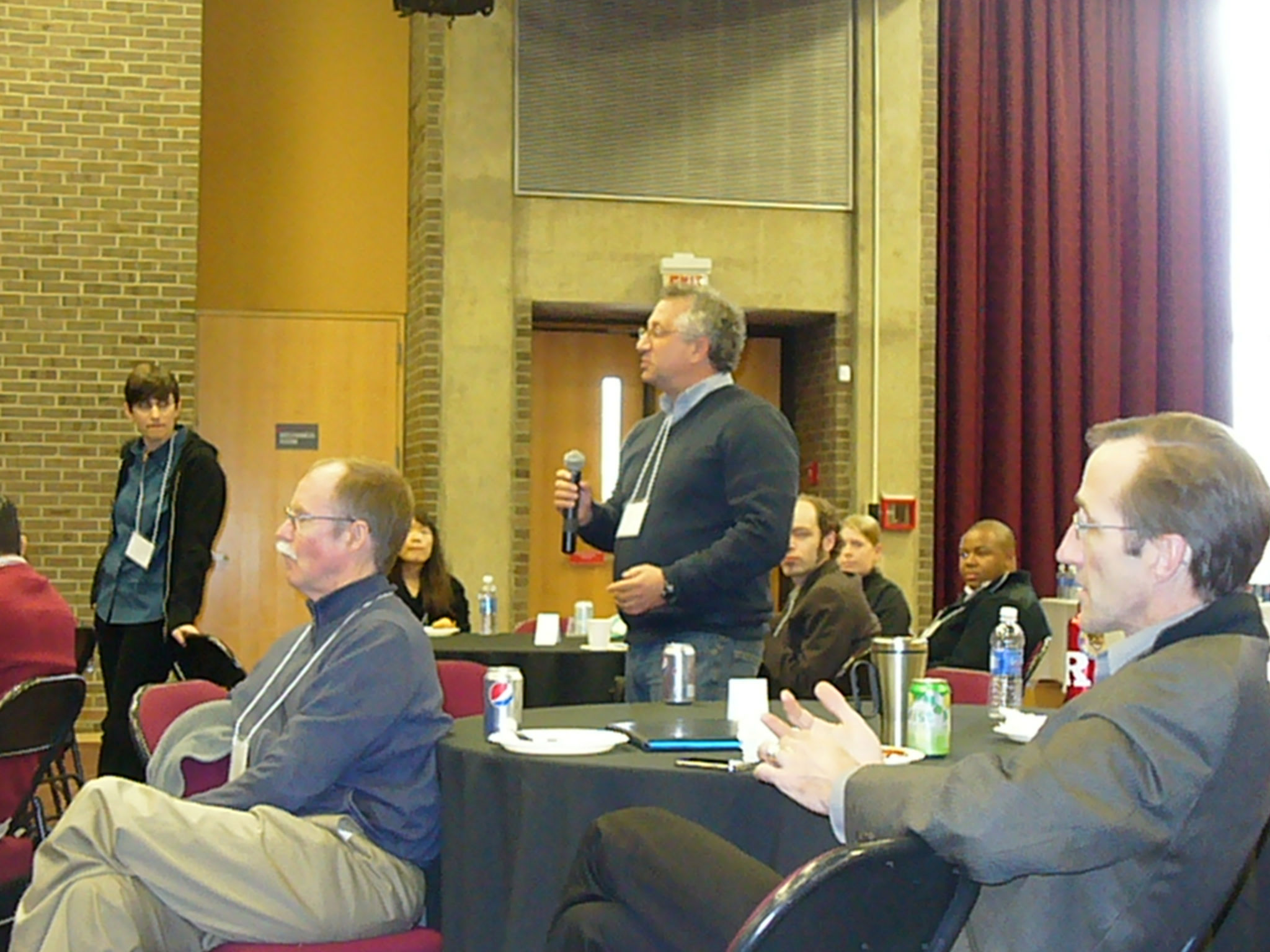
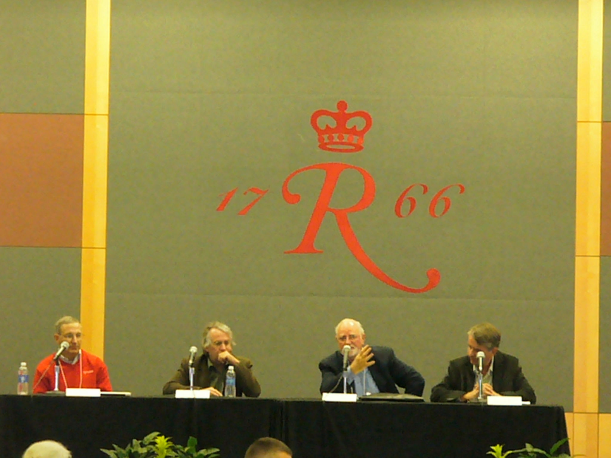
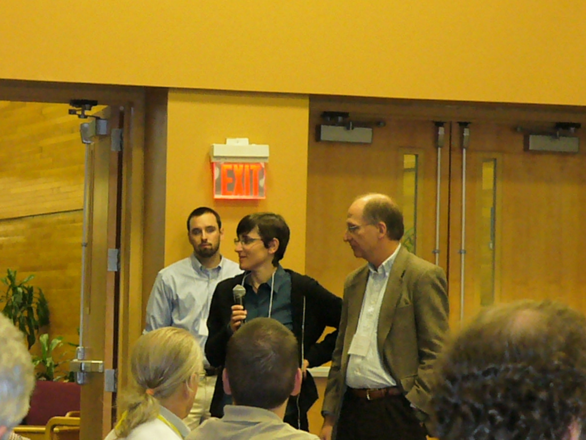
On November 8, 2012, the Rutgers Climate Institute hosted a one-day symposium to stimulate interaction and collaboration among the community of natural and social science researchers and university students from institutions in the greater NJ, NY and Philadelphia region interested in climate change.
The study of climate change is inherently interdisciplinary, cutting across the physical, ecological and social sciences, as well as policy, business, engineering, law and medicine.
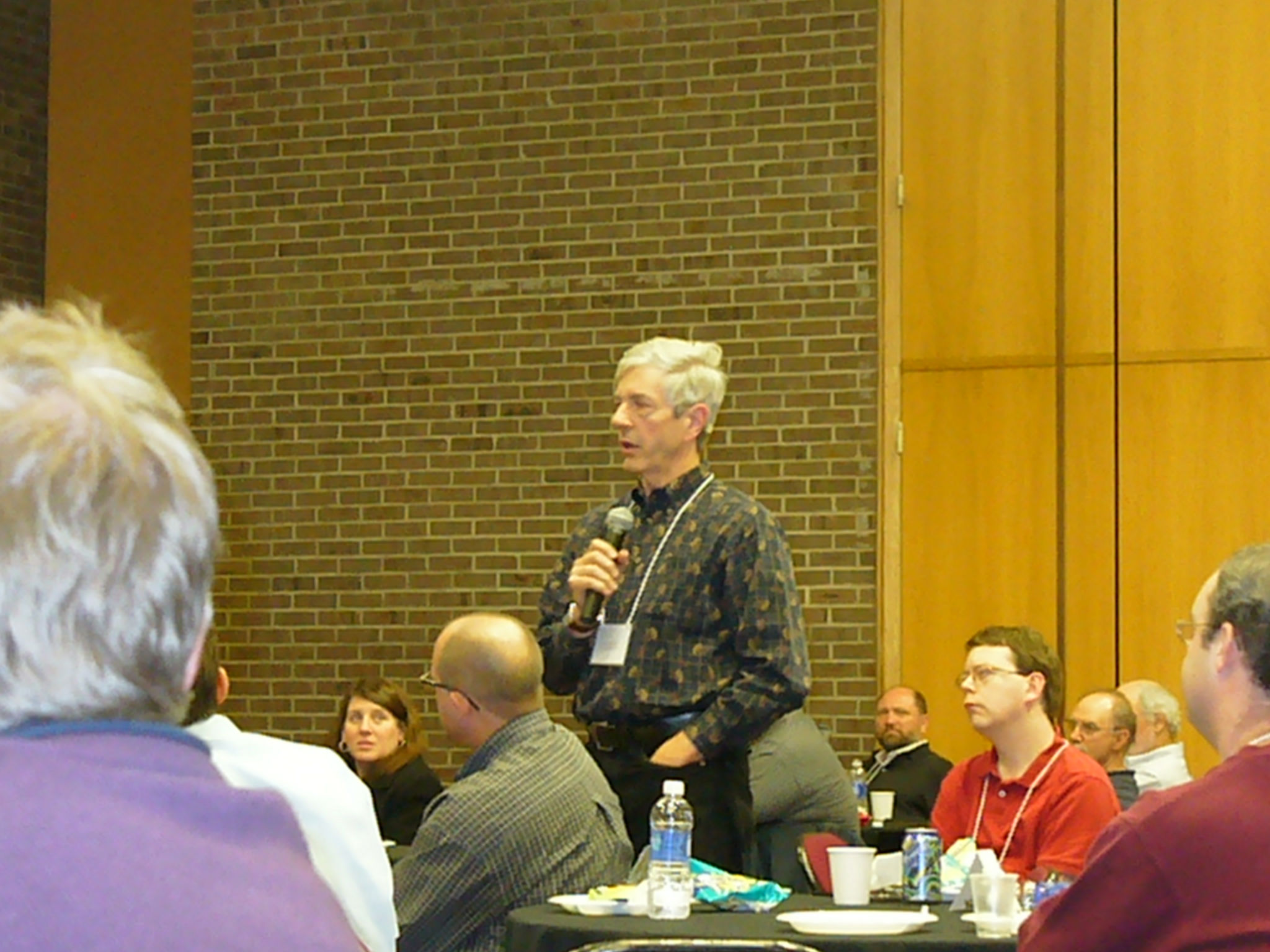
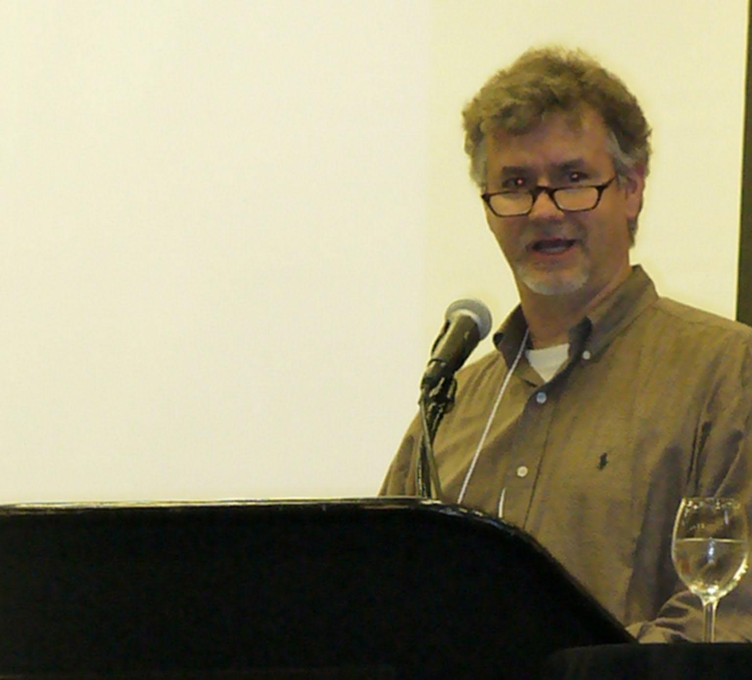
The purpose of this day-long symposium, sponsored by the Climate and Environmental Change Initiative in collaboration with the Initiative on Climate and Society and the Rutgers Energy Institute, was to bridge departmental and school boundaries. It brought together Rutgers faculty, staff, researchers, postdoctoral fellows, and graduate and undergraduate students to share and discuss their interests in climate research and to foster community among campuses (New Brunswick, Newark, Camden), as well as Rutgers laboratories and field stations. Symposium participants were encouraged to prepare and present a poster of their scholarly research and interests. In addition to poster presentations by symposium participants, morning and afternoon keynotes were given by preeminent climate scholars.
Rutgers Climate Symposium 2012
November 8, 2012
AGENDA
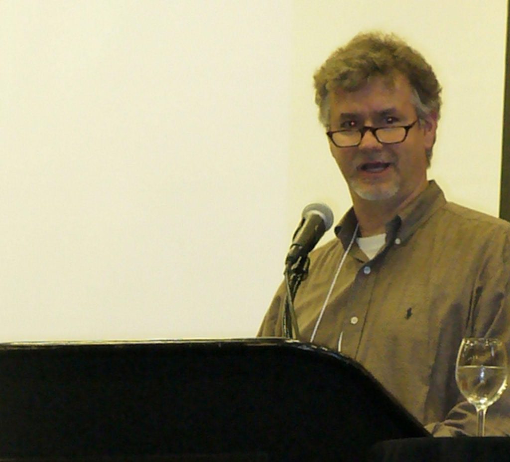
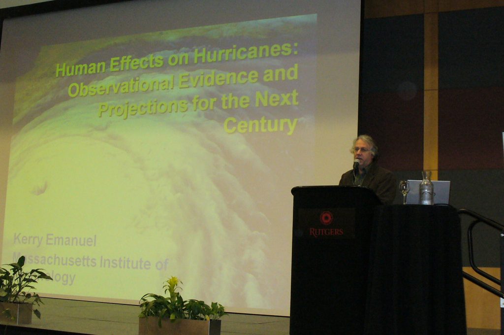
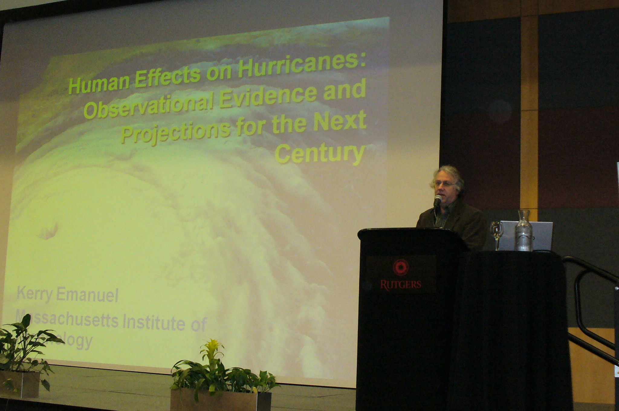
Morning Keynote Address
"Human Effects on Hurricanes: Observational Evidence and Projections for the Next Century"
Kerry Emanuel , Cecil & Ida Green Professor of Atmospheric Science, Massachusetts Institute of Technology | Presentation PDF
Afternoon Keynote Address
"Climate Change and Global Inequality: Vulnerability, Responsibility, and Action"
J. Timmons Roberts, Ittleson Professor of Environmental Studies, Brown University | Presentation PDF
Rutgers Climate Symposium is made possible through the generous support of the
Frank Sposato Memorial Endowment
| Authors | Title | Abstract | Link to the Poster PDF |
|---|---|---|---|
| Mark Barnes (Geography Department) | Price and values of institutional climate resilience: A case study of environmental change decision-making for an urban mass transit agency | Impact classifications drive understandings of the vulnerability of transport to climate change while policy, management and investment responses among institutional actors and agents such as mass transit agencies remain an obscure topic in environment, transportation, hazards and urban research. Our lack of knowledge about environmental change responses by transport institutions has important implications and consequences for diverse commuters and neighborhood communities in times of severe environmental, social and economic stress. This poster highlights urban mass transit climate resilience efforts through policy shifts, technological innovation, operational responses, and investment strategies. The following question is addressed: When does institutional decision-making for an urban mass transit agency lead to both urban resilience and vulnerability? This case study explores the challenges, constraints and sensitivities a mass transit agency faces while attempting to mitigate severe weather impacts and adapt to climate change. Semi- structured interviews found executive-level transit agency officials to be unapologetic for decisions made toward enhancing the climate resiliency of their systems, infrastructure and modes despite what might be interpreted as producing vulnerable impacts among commuters and different community types. Mapping efforts identify places of chronic hazard stress and public concern that current institutional policies and operational approaches are ill-designed to mitigate or adapt. | Poster PDF |
| Mira Berdahl (Department of Environmental Sciences), Alan Robock (Department of Environmental Sciences) | Simulation of Little Ice Age Initiation on Baffin Island Using Paleoclimate Modeling Intercomparison Project (PMIP3) Models | Simulation of Little Ice Age Initiation on Baffin Island Using Paleoclimate Modeling Intercomparison Project (PMIP3) Models Mira Berdahl (Department of Environmental Sciences), Alan Robock (Department of Environmental Sciences) Geological evidence collected from Northern Baffin Island suggests several abrupt cooling events during the descent into the Little Ice Age (LIA) in the late 13th century CE. During these cooling events, the snow line elevation descended by hundreds of meters in a matter of decades. During the height of the Little Ice Age (early to mid 1800’s) the snow line was at least 600 m lower than it is today. Modeling efforts have suggested that the LIA could have been induced with four decadally paced volcanic eruptions causing an expanded sea ice state, but these results were sensitive to the conditions of the North Atlantic Ocean when the eruptions took place. Here, we investigate whether any of four PMIP3 Last Millennium simulations produced enough cooling and a sudden enough change in snow line elevation to match the observations from Baffin Island. We compare the amplitude of cooling, snow cover and sea ice expansion, and circulation patterns during the transition into the LIA between models. We focus on summer seasons directly after volcanic eruptions at the onset of the LIA, particularly the 1258 Unknown (Rinjani?) Eruption, since this is when the effect of a snow line elevation descent would be evident. | Poster PDF |
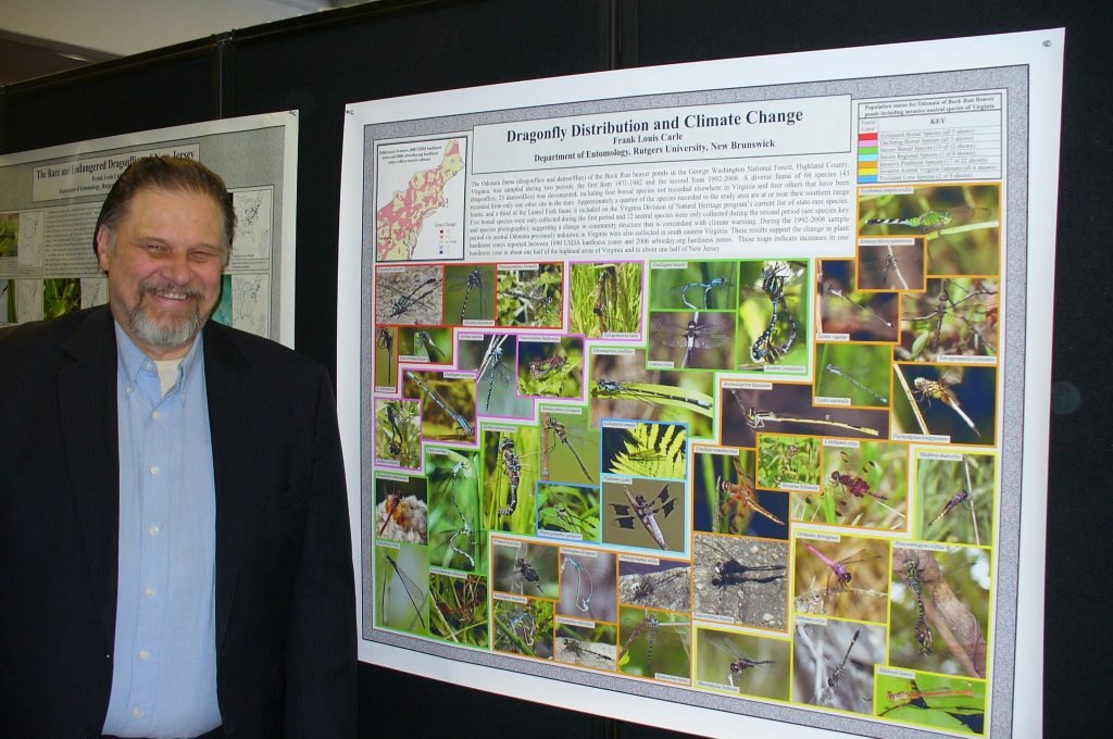
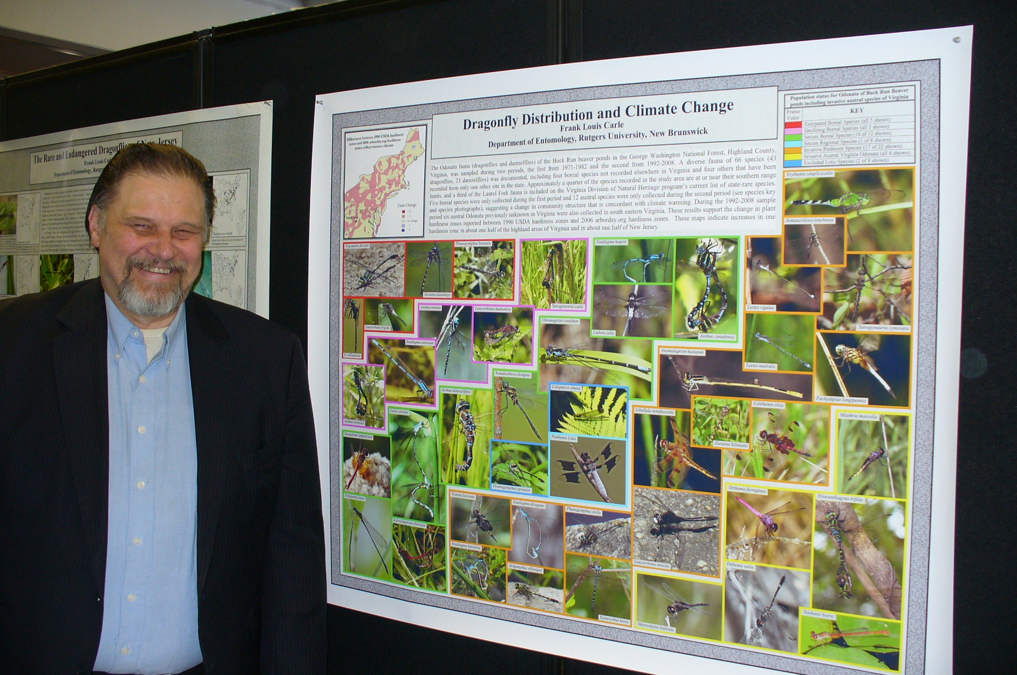
| Frank Louis Carle (Department of Entomology) | Dragonfly Distribution and Climate Change | Poster PDF | |
| Allison Marquardt Collow and Mark Miller (Department of Environmental Sciences) | Controls upon the Diurnal Cycle of Clouds and Radiation in the Sahel Region of West Africa | The Sahel region in sub-Saharan Africa is home to one of the largest water vapor gradients on Earth known as the Intertropical Front (ITF). The climate of the Sahel is modulated by the position of the ITF, which experiences a seasonal north-south oscillation in response to the phase of the West African monsoon circulation. The Sahara Desert essentially annexes the Sahel region during the hot and dry season (dry season) and a near-surface shallow modified maritime air mass from the tropical Atlantic Ocean undercuts than the Saharan air mass during the summer months (wet season). The wet season diurnal cycle is of particular importance due to its role the production of precipitation in this sub-arid climate. An experiment conducted by the Atmospheric Radiation Measurement Program in 2006 enabled detailed measurements of the diurnal cycle of the net radiation budget during in the wet and dry seasons and comprehensive measurements of the clouds and aerosols that could influence the radiation budget. These measurements have been used to construct a composite diurnal cycle of clouds and radiation that can be used to evaluate representations of the regional climate in models. | Poster PDF |
| Thomas W. Collow (Department of Environmental Sciences) and Alan Robock (Department of Environmental Sciences) | Sensitivity of convective precipitation development over the Southern Great Plains to patterns of soil moisture | This work will address the sensitivity to initial soil moisture conditions of convective precipitation patterns over the Southern Great Plains of the United States on days with and without strong synoptic forcing. The Weather Research and Forecasting Model – Advanced Research WRF (WRF) will be initialized with North American Regional Reanalysis data and nested with an inner domain of 4 km over the Southern Great Plains. A control run of WRF will be run for the duration of each severe weather outbreak to be studied and precipitation data will be compared to those from the National Centers for Environmental Prediction Stage IV product. I will then adjust the initial soil moisture conditions in the control run to determine how precipitation patterns as well as other meteorological variables respond to different soil moisture patterns. Preliminary results from the control runs will be shown here. Early results show that an un-nested WRF run simulates a severe weather event in early May 2010 but does not capture the magnitude of it, probably due to the low resolution used. Applying nesting will allow the model to simulate the mesoscale features allowing for a more suitable comparison with the Stage IV product. | Poster PDF |
| Margaret Conroy (Ecology and Evolution) | Overview of the Actuaries Climate Change Index™ (ACCI™) and the Actuaries Climate Risk Index™(ACRI™) | Poster PDF | |
| Nicole Del Monaco (student intern, Bioenvironmental Engineering), Christopher C. Obropta, PhD., P.E. (Department of Environmental Sciences), Jessica T.R. Brown, EIT (Rutgers Cooperative Extension Water Resources Program) | Linkage Between Climate Change and Stormwater Management in the Raritan River Watershed | The focus area of research is the link between climate change and its effects on stormwater management. By examining land use for the years 1986, 1995, and 2010 for 5 subbasins (approximately 19,167.61 acres) within the Lower Raritan, South River, and Lawrence Brook subwatersheds, areas prone to flooding, a general hypothesis can be made regarding changes in pervious cover. To execute this, GIS land use data was compiled from the years aforementioned, and the focus was the change over time per subbasin. The areas of land use that the most notable changes were found include agriculture, forest, wetland, and urban land use cover. The results were staggering; there has been a steady decrease in agricultural and forest land use, while there has been an overall increase in wetland data. There has been approximately a 20.9% increase in urbanization as well. These findings conclude that there has been an overall decrease in pervious cover. With an increase in heavier rainfall events in the Northeast (NCA), major flooding becomes a concern. With this information, recommendations within these subwatersheds can be made to design stormwater management systems to help alleviate flooding and prepare for heavier rainfall events associated with climate change. | Poster PDF |
| Mathieu Gerbush, David A. Robinson and Daniel Zarrow (Office of the New Jersey State Climatologist) | Office of the New Jersey State Climatologist weather and climate monitoring networks | An era is upon us where literally hundreds of precipitation observations are available across New Jersey each day, with dozens of observations as often as every five minutes. These include measurements made manually by volunteer observers and others recorded by electronic gauges. The Office of the NJ State Climatologist (ONJSC) manages two networks that provide the majority of these observations. Our NJ Weather and Climate Network (NJWxNet) | Poster PDF |
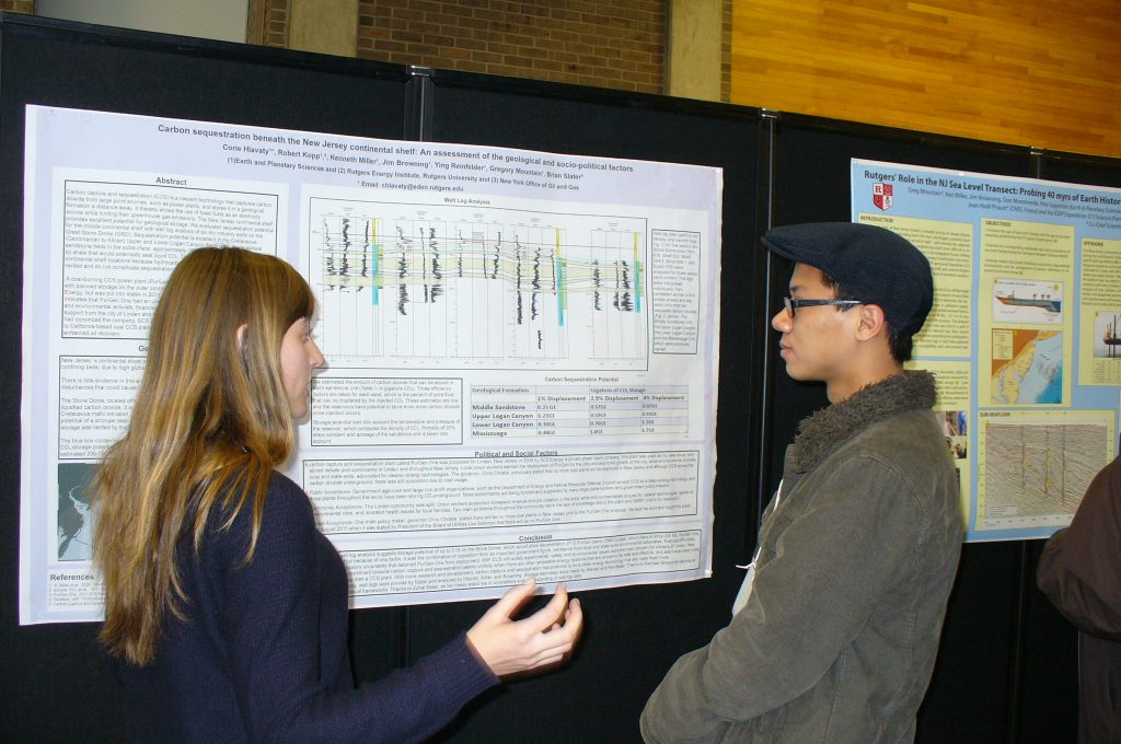
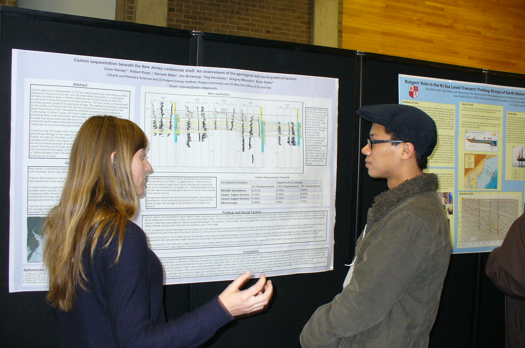
| Corie Hlavaty (Department of Earth and Planetary Sciences), Robert Kopp (Department of Earth and Planetary Sciences), Ken Miller (Department of Earth and Planetary Sciences), Jim Browning (Department of Earth and Planetary Sciences), Ying Reinfelder (Department of Earth and Planetary Sciences), Gregory Mountain (Department of Earth and Planetary Sciences), Brian Slater (Office of Oil and Gas, New York State Museum) | Carbon sequestration beneath the New Jersey continental shelf: An assessment of the geologic and socio-political aspects | Carbon capture and sequestration (CCS) is a nascent technology that captures carbon dioxide from large point sources, such as power plants, and stores it in a geological formation a distance away. It thereby allows the use of fossil fuels as an electricity source while limiting their greenhouse gas emissions. The New Jersey continental shelf provides excellent potential for geological storage. We evaluated sequestration potential for the middle continental shelf with well log analysis of six dry industry wells on the Great Stone Dome (GSD). Sequestration potential is excellent in the Cretaceous (Cenomanian to Albian) Upper and Lower Logan Canyon Sand units; these porous sandstone beds in the subsurface, approximately 1800-2500 meters deep, are capped by shale that would potentially seal liquid CO₂. The GSD is potentially superior to outer continental shelf locations because hydrocarbons, particularly methane, have been vented and do not complicate sequestration in contrast to other areas studied. A coal-burning CCS power plant (PurGen One) was proposed for Linden, New Jersey with planned storage on the outer continental shelf or continental slope in 2009 by SCS Energy, but was put into stasis in 2011. An assessment of the social and political factors indicates that PurGen One had an unsuccessful end due to opposition of political figures and environmental activists, financial difficulties, and regulatory uncertainty. The lack of support from the city of Linden and from the administration of Governor Chris Christie had convinced the company, SCS Energy, to abandon their plant and move their efforts to California-based coal CCS plant which will use carbon capture and sequestration for enhanced oil recovery. | Poster PDF |
| Rebecca Kalenak, Sharon Kinsey, Laura K. Bovitz, Janice McDonnell, Marissa Blodnik, Maggie McCann (All authors are affiliates of Rutgers Cooperative Extension 4-H Youth Development) | Rutgers 4-H: Climate Change Programs | 4-H teaches climate change science to youth across New Jersey. 4-H climate change programs are delivered through many of the NJ county extension offices and are brought to communities through different delivery modes including school enrichment, afterschool, and on campus at the annual 4-H climate change summit. The curriculum focuses on teaching the causes, impacts and evidence of climate change in addition to the solutions that we can apply to our daily lives. Service-learning projects are integrated into all of our programs and allow youth to demonstrate their understanding of issues related to climate change. Our programs are accomplished through collaboration within Rutgers University including; Cooperative Extension and the departments of marine science, geography, and environmental science. Community organizations and partnership are also a vital component to successful climate change programming. A variety of evaluation tools have been developed for analysis of our programs including; retrospective pre-post tests to measure science and life skill perceived changes, knowledge tests, post-post tests, and observation technique. This presentation will introduce the NJ 4-H climate change programs and will look at the impact our programs have on our students and the community. | Poster PDF |
| Miller, K.G., Kopp, R.E. (both in Earth and Planetary Sciences), Horton, B.P., Psuty, N., (both in Institute of Marine and Coastal Sciences), Lathrop, R. (Department of Environmental Sciences) | Sea-level changes on human times scales | Rising sea level poses a threat to coastal communities, yet the extent of this threat is often exaggerated. Recent studies have documented that sea level is rising today at 3.3±0.4 mm/y, accelerating from a 20th century rise of 1.8±0.3 mm/y. By 2100, the IPPC (2007) best estimate is that global sea level will rise by 40 cm (1.2 ft). Rahmstorf et al. (2007) show that we are tracking at the high end of the IPCC estimates, estimating a rise >80 cm (2.4 ft) by 2100. Comparison of semi-empirical (e.g., Vermeer and Rahmstorf, 2009), glaciological constraints (Pfeffer et al., 2009), and other datasets (Katsman et al., 2011) suggest a rise of 1.2±0.4 m by 2100. Extrapolation of a possible acceleration noted in GRACE and satellite altimetry data (Rignot et al., 2011) suggest that stakeholders should plan for 30 cm (1 ft) of rise by 2050 and 1 m (3.3 ft) ft by 2100. The major unknown is that the rate of acceleration in satellite data is not sufficiently constrained. Most regions will also see additional relative rise due to subsidence, ranging from 10-20 cm along the U.S. east coast to over a meter in southern Louisiana. The most important effects of sea-level rise in the next century will continue to be its exacerbating influence on coastal storms, the loss of marshlands, and the continued costs to fight the inexorable march back of the beaches (Psuty and Collins, 1996). Rutgers is developing locally predictive capability for various sea-level rise scenarios (http://slrviewer.rutgers.edu/ ). | Poster PDF |
| Miller, K.G., Mountain, G.S., Browning, J.V., Wright, J.D., Kopp, R.E., Sugarman, P.J., Abdul, N., Mortlock, R., Fairbanks, R.G. (all Earth and Planetary Sciences), Horton, B.P., Rosenthal, Y., Woodard, S. (all Institute of Marine and Coastal Sciences) | Sea-level changes on geological times scales | Sea-level studies at Rutgers encompass several geological times scales, providing constraints on the rates, amplitudes, and mechanisms controlling globally averaged (eustatic) and relative (eustatic plus subsidence/uplift) changes. Miller et al. (2005, 2011) presented a 100 Myr sea-level history, showing that global changes are tied primarily to long-term (107-108 yr scale) tectonism and short-term (103-106 yr scale) changes in continental ice volumes. Studies show that is extremely likely that sea level in the Pliocene (ca. 3 Ma) peaked at ~22±10 m, when atmospheric CO levels were similar to today’s (Miller et al., 2012). This demonstrates that the equilibrium 2 condition for sea level under today's CO levels requires the deglaciation of both Greenland and 2 the West Antarctic Ice Sheet (Miller et al., 2012). Peak sea level during the last deglaciation (125 ka) was ~7±2 m above present (Kopp et al., 2009). A 120-m global sea-level rise followed the last glacial maximum (ca. 20 ka; Fairbanks, 1989). Studies of corals in Barbados and Tahiti document that rates of rise that exceeded 10 times the modern at ca. 13 ka (> 40 mm/yr versus ~ 3 mm/yr)(Abdul et al., in prep). Global sea-level rise slowed from 5 to 2 ka to < 1mm/yr, with New Jersey relative sea level rising ~2 mm/yr during this interval (Miller et al., 2009; Horton et al., submitted). During the Common Era, sea level rose 0 mm/yr for first millennium, 0.6 mm/yr during the Medieval Climate Anomaly, and near zero in Little Ice Age (Kemp et al., 2011). | Poster PDF |
| M. A. Miller and V.P. Ghate (Environmental Sciences Department, Rutgers University) | Measured and Modeled Cloud and Radiation Interactions over West Africa | Coincident, continuous measurements of the surface and top-of-atmosphere (TOA) broadband radiative fluxes made during the Atmospheric Radiation Measurement Mobile Climate Research Facility (AMF) deployment in Niamey, Niger, Africa provided an unusual opportunity to investigate the interworking’s of GCM simulations of cloud and radiation interactions. Measurements from a unique satellite sensor known as the Geostationary Earth Radiation Budget (GERB) instrument were combined with data collected using AMF1 to enable 15-minute resolution measurements the Cloud Radiative Forcing (CRF), which quantifies the radiative impacts of clouds at the surface and the TOA, and Cloud Radiative Effect (CRE), which quantifies the radiative effects of clouds on the atmospheric column itself. This unprecedented radiation measurement frequency is compatible with the time scale of changes in water vapor, aerosol, and cloud structure that modulate the radiation budget, thereby producing a detail-laden Global Climate Model (GCM) evaluation tool. Simulations of the climate in the African Sahel region from four GCMs used in the in the Intergovernmental Panel for Climate Change (IPCC) fourth assessment report (AR4) were vetted using these unique data and the representations of clouds and accompanying radiative throughput in two of these GCMs were studied in detail. | Poster PDF |
| Gregory Mountain (Department of Earth and Planetary Sciences), Jean-Noël Proust (CNRS, France) and the IODP Expedition 313 Scientific Party | Rutgers' Role in the NJ Sea Level Transect: Probing 40 myrs of Earth history | The soils and rocks of New Jersey contain a valuable archive of climate history and land- sea interaction extending back 230 myrs, and Rutgers scientists have been instrumental in bringing this record to light. Until recently the adjacent offshore record, understandably more complete but much more difficult to recover, has been unavailable. This changed due to the Integrated Ocean Drilling Program (IODP), an international consortium of research institutions that investigate topics requiring seafloor drill holes. The IODP sponsored Expedition 313 in Spring-Summer 2009 to drill into the New Jersey shelf, and several Rutgers faculty and associates were among the 29-member team of scientists conducting the investigation. Expedition 313 drilled and logged 3 sites in 35 m of water 45-65 km off Barnegat Inlet. The data constitute a long-awaited 'missing link' in a transect of sites from the coastal plain to the continental slope begun in 1993 to (1) determine the factors that imprint shallow water sedimentation (changes in sediment supply, global sea level and climate, among others), and (2) extract global sea-level history during times of known glaciation from as far back as 40 Ma. 1311 m of very good to excellent quality cores were collected with 80% recovery. The deepest was 757 mbsf; the oldest was upper Eocene. Each hole was tied to a grid of high-resolution 2D seismic profiles and located to intersect top-, fore- and/or toeset strata of several clinoforms where the factors controlling the stratigraphic record would be most clearly expressed. Slim-line logs in each hole gathered spectral gamma ray, resistivity, magnetic susceptibility, sonic and acoustic televiewer measurements. | |
| Samiah Moustafa (Department of Geography, Rutgers, The State University of New Jersey), Asa K. Rennermalm (Department of Geography, Rutgers, The State University of New Jersey), Laurence C. Smith (Department of Geography, University of California of Los Angeles) | Assessing the Importance of Basal Topography for Greenland Ice Sheet Margin Hydrology | Nearly half of the Greenland ice sheet’s total mass loss is controlled by surface mass balance, primarily driven by meltwater runoff exiting at its margin via supra-, en-, and sub-glacial drainage networks into fjords and pro-glacial lakes and rivers. Despite the importance of meltwater runoff, Greenland’s hydrologic drainage patterns are not well understood. This is partly due to a scarcity of ice sheet meltwater runoff observations and detailed information about supra- and sub-glacial topography, which are responsible for dictating runoff flow patterns. However, such data are available locally in southwest Greenland for the Akuliarusiarsuup Kuua (AK) River watershed. Here, NASA IceBridge supra-glacial (Airborne Topographic Mapper (ATM)) and sub-glacial (Multichannel Coherent Radar Depth Sounder (MCoRDS)) topography and in situ hydrologic data are used to study three nested riverine systems within the AK River watershed ranging from 8 to 101 km2. Examination of relationships between drainage patterns modeled from topographic data and actual ice sheet runoff losses provide insight into drainage basin delineation accuracy, scale- dependency, and surface and sub-glacial topography controls on ice sheet margin hydrology. Lastly, this study will determine the importance of incorporating basal topography within meltwater runoff models and will serve to improve our understanding of Greenland's hydrology. | |
| Daphne Munroe (Haskin Shellfish Research Laboratory), Sylvia Brandt (Univ of Massachusetts, Amherst), Carolyn Creed (Department of Human Ecology), Dale Haidvogel (Institute of Marine and Coastal Sciences), Eileen Hoffman (Center Coastal Physical Oceanography, Old Dominion University, Norfolk, VA), John Klinck (Center Coastal Physical Oceanography, Old Dominion University, Norfolk, VA), Roger Mann (Virginia Institute of Marine Science, Gloucester Point, VA), Bonnie McCay (Department of Human Ecology), Janice McDonnell (4-H Extension), Eric N. Powell (Gulf Coast Research Lab., U. S. Mississippi), Cesar Marcelo Viteri Mejia (Univ. Of Massachusetts, Amherst), Peter Zhang (Institute of Marine and Coastal Science) | Climate Change and Atlantic Surfclams: A Coupled System Study | The Atlantic surfclam fishery lands 22,000 metric tons annually, (worth $39 million), making it one of the most valuable single species commercial fisheries in the US. Since 1997, populations from southern inshore regions of the clam’s range have experienced significant mortality co-incident with warm bottom water temperatures (reaching 21-24°C in September). Resulting changes in population distribution have major implications for the clam fishery. The processes underlying this ongoing range shift are being investigated using a multi-disciplinary approach that includes an individual-based population model that simulates the growth of post-settlement surfclams. The individual-based biological model includes phenotypic variability and individual adaptation to environmental conditions. Hindcast simulations using this model reproduced observed mortality events from southern inshore regions of Virginia through New Jersey, consistent with the northward range shift. In simulations, higher temperatures decreased ingestion, caused stunted growth, reproductive failure, and eventual starvation and death. Additional simulations examining changes in population range and demographics resulting from climate warming will be discussed. Integrating predictions from the biological model with those of other disciplines (physical oceanography, economics and anthropology) provides comprehensive guidance for a proactive approach to Atlantic surfclam management in the face of climate-driven shifts in resource distribution. | |
| David A. Robinson and Thomas W. Estilow (Global Snow Lab, Department of Geography) | Hemispheric Snow Cover Extent Variability Poster | Poster PDF | |
| Alan Robock (Department of Environmental Sciences) | Climatic Consequences of Nuclear Conflict: Nuclear Winter Still a Threat | A nuclear war between Russia and the United States, using the reduced arsenals of 4000 total nuclear weapons that will result by 2017 in response to the New START treaty, could still produce nuclear winter. A nuclear war between India and Pakistan, with each country using 50 Hiroshima-sized atom bombs as airbursts on urban areas, could produce climate change unprecedented in recorded human history and global-scale ozone depletion. Furthermore, there would be massive ozone depletion with enhanced ultraviolet radiation reaching the surface. New results (http://climate.envsci.rutgers.edu/nuclear/) show a reduction of agricultural production in the US and China by about 20% for a decade. Using climate models, we injected different amounts of soot aerosols that would be generated by fires from regional and global nuclear wars into the upper troposphere, and examined the climatic and stratospheric chemistry responses. The soot is lofted into the stratosphere, and the effects of regional and global nuclear war would last for more than a decade, much longer than previously thought. The continued environmental threat of the use of even a small number of nuclear weapons must be considered in nuclear policy deliberations in Russia, the U.S., and the rest of the world. | Poster PDF |
| Eric Sinsky (Institute of Marine and Coastal Sciences), Imtiaz Rangwala (Institute of Marine and Coastal Sciences) and James R. Miller (Institute of Marine and Coastal Sciences) | Examining elevation sensitive warming in global climate models | ||
| Lili Xia (Department of Environmental Sciences) and Alan Robock (Department of Environmental Sciences) | Impacts of Nuclear War and Geoengineering on Agriculture | ||
| Irene Zager (Dept. of Geography), Laura C. Schneider (Dept. of Geography), John Rogan (Clark University) | The effect of fragmentation on forest damage caused by hurricane Dean (2007) in the Mexican Yucatán | Poster PDF | |
| Daniel Zarrow, David A. Robinson and Mathieu Gerbush (Office of the New Jersey State Climatologist) | Tools for New Jersey weather and climate monitoring and analysis | Daniel Zarrow, David A. Robinson and Mathieu Gerbush (Office of the New Jersey State Climatologist) The Office of the New Jersey State Climatologist (ONJSC) at Rutgers University strives to meet the needs of individuals and stakeholder communities throughout the state who seek weather and climate information, assessments of weather and climate impacts, and a better understanding of climate variability and change. This poster will introduce several new ONJSC products and information-delivery tools, and how they provide additional context and clarity to recent weather events. They include innovative and interactive online products to display real-time and historical weather information for individual locations as well as for the entire state. Observations from an ONJSC real-time weather network of over 50 stations, a volunteer daily precipitation observing network at over 250 locations, and historical daily data from several dozen stations constitute the bulk of the data used when generating products. Timely temperature alerts can save lives during heat waves, high-resolution precipitation analyses can assist state and local officials in decision making and planning for drought mitigation, and wind climatologies can prove invaluable for analysis of pollutant transport and wind energy potential. These products demonstrate the importance of local observations and tools to best analyze and display information when addressing local and regional weather- or climate-related issues. | Poster PDF |
| Haiyan Zhang (Bloustein School of Planning and Public Policy) and Clinton J. Andrews (Bloustein School of Planning and Public Policy) | Modeling land market responses to climate change in the coastal zone | Emission and transport of allergenic pollens is expected to be affected by climate change, and potentially increase occurrence of allergic airway disease (AAD). A novel modeling system is presented for studying emission and transport of representative allergenic pollens under climatic change conditions. The emission module is parameterized based on historical data of observed meteorology/climate, phenology and airborne pollen count. The transport of pollen was simulated via the combined application of the Weather Research and Forecasting (WRF) model, the Sparse Matrix Operator Kernel Emissions (SMOKE) model and an adapted version of Community Multiscale and Air Quality (CMAQ) model. Simulation results from the SMOKE-WRF-CMAQ modeling system could characterize reasonably well the observed allergenic pollen timing and levels; and that the simulation estimates were comparable with those from observed climatologic means. It is also shown that responses of pollen timing and levels to future climatic conditions will be different for different allergenic genus and different climate regions. Simulation results improve our understanding of climatic change effects on allergenic pollen timing and levels, and provide information useful in managing public health problems associated with expected increases in cases of AAD. | Poster PDF |

| Authors | Title | Abstract | Link to the Poster PDF |
|---|---|---|---|
| Nicole Abdul (Earth and Planetary Sciences), Richard Mortlock (Earth and Planetary Sciences), James Wright (Earth and Planetary Sciences) and Richard Fairbanks (Columbia University & Earth and Planetary Sciences) | A Detailed Tropical Sea Level Record Spanning the Younger Dryas Abrupt Cooling Event | Sea level (SL) is a fundamental measure of variability in continental ice volume and provides a benchmark to test climate change hypotheses. SL records of the most recent deglaciation show 2 pulses of accelerated rise (MWPs 1A and 1B) separated by an interval of reduced SL rise. The Younger Dryas (YD) abrupt cooling event (12.85 to 11.65 kyr BP), recorded by climate proxies as a return to near glacial-like conditions in the circum-North Atlantic, falls between these MWPs and provides a unique opportunity to study the effect of abrupt climate change on SL. Based on Acropora palmata fossil corals from Barbados and initially constrained by 3 radiocarbon dates, our YD SL record is now defined by 19 U/Th dates. From 14.0 to 11.3 kyr BP, SL rose from -81 to -56.5 m with an initial rate of 10 m/kyr that decreased smoothly to <5 m/kyr at the base of MWP1B. At the beginning of the YD, SL was at -69 m and rose 8 m by the end of this interval. The YD interval recorded only a minor slowing of SL rise and is a continuation of the trend that began at the top of MWP1A and ended with MWP1B. | |
| Ross Alter (Department of Environmental Sciences) | The Effects of Great Plains Irrigation on Precipitation Extremes in North America | Over the last sixty years, there has been a substantial and rapid increase in irrigated cropland within the Great Plains of the United States. The nationwide response of precipitation to this change in land use is not completely understood. Several studies show that monthly and annual precipitation have increased near irrigated areas, but the effects of irrigation on precipitation downwind of the irrigated regions remain unclear. Of particular importance to society is the possibility that irrigation could enhance heavy precipitation both locally and downwind of irrigated regions. On the other end of the precipitation spectrum, it is also possible that large‐scale irrigation – through changes to the surface energy budget and attendant increases in precipitation – has shifted drought patterns in or downwind of the irrigated areas. Thus, two major questions will be addressed in this research: Has the development of irrigation in the Great Plains (1) enhanced heavy precipitation locally and/or downwind of the irrigated regions or (2) caused a decrease in either the frequency or severity of drought in the Great Plains and Midwest? These questions will be answered through trend analysis of long‐term precipitation observations and through simulations of precipitation with a high‐resolution climate model. | |
| Jamie F. Caridad (Ecology and Evolution Graduate Program) and Kenneth W. Able (Institute of Marine and Coastal Sciences) | Climate Change Impacts on Larval Fish Composition in Little Egg Inlet, New Jersey | There is increasing evidence for the effects of climate change on ecosystems; however it is more difficult to assess these impacts in marine systems. Studies have shown that shallow temperate estuaries can be greatly affected by increasing temperatures. Utilizing data collected from long term water temperature monitoring (1976-present) and weekly ichthyoplankton sampling programs (1989-2010, > 350,000 individuals) at Little Egg Inlet, NJ, there is evidence that rising temperatures may have influenced the ingress of larval fish into the estuary. The annual variation of both larval fish species composition and abundance has decreased for northern species (originating from Georges Bank and the Gulf of Maine, e.g. Atlantic herring, American sand lance) but has increased in southern species (originating in the Sargasso Sea and the South Atlantic Bight, e.g. Atlantic croaker, silver perch). This increase in southern spawning species is especially evident in the late summer and early fall. Because of the importance of estuaries to the early life history of important commercial and recreational fishes and their prey, the impacts of climate change can greatly affect not only the ecology of the estuary, but also its societal and economic importance. | Poster PDF |
| Enrique Curchitser (Institute of Marine and Coastal Sciences), Frank Felder (Bloustein School of Planning and Public Policy), Y.F. Reinfelder (Department of Earth and Planetary Sciences), Nina Fefferman (Department of Ecology, Evolution and Natural Resources), Joseph Seneca (Bloustein School of Planning and Public Policy), Nancy Mantell (Bloustein School of Planning and Public Policy), Michael Lahr (Bloustein School of Planning and Public Policy), Clint Andrews ((Bloustein School of Planning and Public Policy), Hilary Sigman (Department of Economics), Maria Teresa Alvarez-Martinez (Bloustein School of Planning and Public Policy), Haiyan Zhang (Bloustein School of Planning and Public Policy), Shankar Chandramowli (Bloustein School of Planning and Public Policy), Will Irving (Bloustein School of Planning and Public Policy), Anthony Broccoli (Department of Environmental Sciences), Dujuan Kang (Institute of Marine and Coastal Sciences), John Wilkin (Institute of Marine and Coastal Sciences, Julia Levin (Institute of Marine and Coastal Sciences) and Robert Kopp (Department of Earth and Planetary Sciences).National Center for Atmospheric Research: Julio Bacmeister, Peter Lawrence, William Large, Bill Sacks.NOAA-NMFS/SWFC: Francisco Werner. | Climate-to-humans: A study of urbanized coastal environments, their economics and vulnerability to climate change. | The fundamental aim of this project is to develop a framework for investigating the interactions between human activity and the climate system, using state-of-the-art multi-scale climate and economic models. We chose to study the highly industrialized and urbanized coastal region of the northeast US with an emphasis on New Jersey. The framework is developed around the NCAR Community Earth System Model (CESM). The CESM model capabilities are augmented with enhanced resolution of the land surface model in our region of interest, a more sophisticated ground water capability, downscaled coastal ocean and a high-resolution global atmosphere capable of generating storms. We are coupling the physical model with human activity models for the utility sector, a 300-equation econometric model with sectorial details of an input-output model for the New Jersey economy, an agent-based model for land use changes and finally a social network model used to study the decision making process affecting climate and its relation to economic activity. Figure 1 on the right highlights the linkages we are exploring between climate change and economic and social activity. The feedback between the various systems is designed to be dynamically evolving. | Poster PDF |
| Anthony DeAngelis (Department of Environmental Sciences)and Anthony Broccoli (Department of Environmental Sciences) | Projected Changes in Heavy Precipitation over North America in CMIP5 Climate Model Simulations | Coupled atmosphere-ocean climate models from the Coupled Model Intercomparison Project Phase V (CMIP5) are used to study projected changes in heavy to extreme daily precipitation over North America between the late 20th century and late 21st century under the RCP8.5 emissions scenario. Results show that heavy precipitation increases over much of North America between the late 20th and 21st centuries, with generally larger increases at higher latitudes and near the Atlantic and Pacific coasts. During summer, increases in heavy precipitation are confined to very high latitudes, while only small changes in heavy precipitation occur elsewhere. Heavy precipitation decreases in intensity and frequency over some low latitude regions during certain seasons. We also investigate local changes in the distribution of daily precipitation events and the inter-model variability of such changes in the CMIP5 simulations. Furthermore, we investigate the sensitivity of extreme precipitation to surface warming to see if projected increases in extreme precipitation are governed by atmospheric water vapor constraints. A composite analysis of the atmospheric circulation associated with extreme precipitation events is also used to see if changes in the large scale atmospheric dynamics are associated with changes in extreme precipitation at specific locations. | Poster PDF |
| Michael P. Erb (Department of Environmental Sciences), Anthony J. Broccoli (Department of Environmental Sciences), Andrew T. Wittenberg (Geophysical Fluid Dynamics Laboratory, Princeton University), and Gabriel A. Vecchi (Geophysical Fluid Dynamics Laboratory, Princeton University) | Response of the equatorial Pacific seasonal cycle to orbital forcing | Results from coupled atmosphere-ocean GCM simulations show that the seasonal cycle of equatorial Pacific sea surface temperatures can be strongly affected by precession, while changes in obliquity produce only small differences. Idealized simulations were conducted with the Geophysical Fluid Dynamics Laboratory CM2.1 in which the Earth’s obliquity and timing of perihelion were changed while all other boundary conditions were prescribed at preindustrial levels. While obliquity forcing produces almost no change in equatorial Pacific seasonality, precession alters the strength of the seasonal cycle through both thermodynamic and dynamic mechanisms. In the western equatorial Pacific, insolation anomalies from precession alter the strength of the monsoonal circulation over the Maritime Continent, inducing anomalous downwelling in the Pacific warm pool. The resulting temperature anomalies travel eastward along the thermocline, surfacing in the eastern equatorial Pacific several months later. This anomalous redistribution of heat, aided by the direct thermodynamic effect of insolation anomalies, produces large changes to the strength and timing of the seasonal cycle in the eastern equatorial Pacific. Because equatorial Pacific sea surface temperatures have local climate impacts as well as non-local impacts though teleconnections, these results may be important to understanding paleoclimate variations both inside and outside of the equatorial Pacific. | Poster PDF |
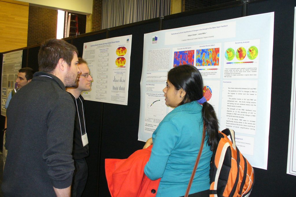
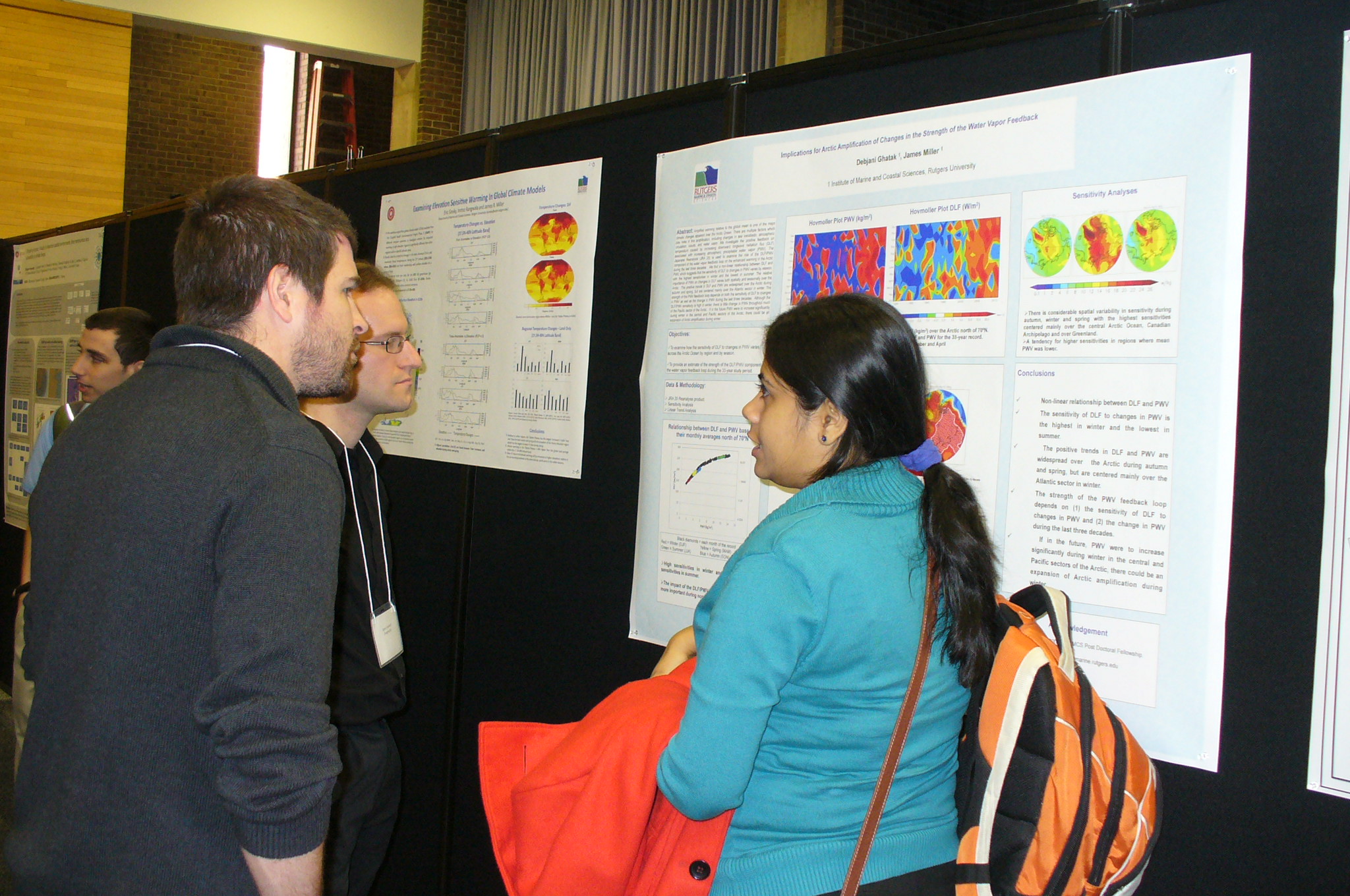
| Debjani Ghatak (Institute Marine and Coastal Sciences), James Miller (Institute Marine and Coastal Sciences) | Implications for Arctic Amplification of Changes in the Strength of the Water Vapor Feedback | Amplified warming relative to the global mean is one of the major climatic changes apparent over the Arctic Ocean. There are multiple factors which play roles in this amplification, including changes in sea ice/albedo, atmospheric circulation, clouds, and water vapor. We investigate the positive feedback on temperature caused by increasing downward longwave radiation flux (DLF) associated with increasing atmospheric precipitable water vapor (PWV). The Japanese Reanalysis (JRA 25) is used to examine the role of the DLF/PWV component of the water vapor feedback loop on the enhanced warming in the Arctic during the last three decades. We find a non-linear relationship between DLF and PWV, which suggests that the sensitivity of DLF to changes in PWV varies by season, with the highest sensitivities in winter and the lowest in summer. The relative importance of PWV on changes in DLF varies both spatially and seasonally over the Arctic. The positive trends in DLF and PWV are widespread over the Arctic during autumn and spring, but are centered mainly over the Atlantic sector in winter. The strength of the PWV feedback loop depends on both the sensitivity of DLF to changes in PWV as well as the change in PWV during the last three decades. Although the DLF/PWV sensitivity is high in winter, there is little change in PWV throughout much of the Pacific sector of the Arctic. If in the future PWV were to increase significantly during winter in the central and Pacific sectors of the Arctic, there could be an expansion of Arctic amplification during winter. | |
| Serpil Guran (Rutgers EcoComplex), Margaret Brennan-Tonetta (New Jersey Agricultural Experiment Station), Thomas Molnar (Department of Plant Biology and Plant Pathology) & David Specca (Rutgers EcoComplex) | A Comparison of GHG Emissions of Biodiesel from Hazelnut Oil and Soybean Oil | The most commonly used feedstocks to produce biodiesel in the U.S. are soybean oil and yellow grease. Other feedstocks include rapeseed, common in Europe, palm and coconut oil, found in Southeast Asia, and jatropha, native to Central America but now grown in a variety of tropical and subtropical regions. The use of first generation biofuels, such as corn ethanol and soybean biodiesel, have raised numerous environmental concerns, particularly regarding greenhouse gas (GHG) emissions. An additional concern is whether fuels derived from these crops create a food- to-fuel pathway which may divert production of food crops to energy crops. Land use problems are also associated with traditional bioenergy crops. These include clearing additional land for agriculture, thereby increasing the net carbon-footprint by releasing stored soil carbon and eliminating the carbon sink function of the once-intact ecosystem. Therefore, development of new types of energy crops that can avoid or minimize these issues is essential to an environmentally sustainable, fossil fuel independent future. Hazelnuts, also known as filberts (Corylus sp.), are such a potential energy crop. In this study, the GHG based LCA of biodiesel manufactured from US grown hazelnut oil is compared with biodiesel manufactured from soybean oil and also fossil diesel fuel. | |
| Briavel Holcomb (Bloustein School of Planning and Public Policy) | Delicious Ironies: Aerosmith plays the Revel Casino during Global Warming Tour! | In November, 2012, the popular band Aerosmith will play at the Revel Casino in Atlantic City as part of their Global Warming Tour. The Revel, Atlantic City’s newest casino, is located on the boardwalk within horizontal yards of the ocean and a few feet above sea level. It cost $3.2 billion and was given various state and local subsidies. Why are our tax dollars funding a structure so vulnerable to rising sea level and increased storm intensity? | |
| Michael J. Kennish (Institute of Marine and Coastal Sciences), Benjamin M. Fertig (Institute of Marine and Coastal Sciences), Gina Petruzzelli (Institute of Marine and Coastal Sciences), and Gregg P. Sakowicz (Institute of Marine and Coastal Sciences) | Effects of Climate Change and Sea-Level Rise on the Tuckerton Peninsula Salt Marsh System | The Tuckerton Peninsula is projected to be among the first salt marsh systems in New Jersey to be lost by sea-level rise associated with climate change and coastal subsidence. This ~2000-ha Spartina salt marsh platform in southern New Jersey is heavily dissected by expanding channel networks and pond development. Broad expanses of the marsh surface are susceptible to inundation and submergence. Reduction in marsh habitat area has accelerated due to extreme weather events, storm surge, sea-level rise, and perimeter shoreline erosion; for example, the rate of salt marsh habitat loss along the eastern and southern shorelines of the southern platform margin amounted to 1.6 m yr-1 between 1995 and 2008. Current sediment accretion rates (0.18 to 0.30 cm yr-1) of salt marsh in the general area are only slightly higher than local rates of relative sea-level rise (0.10 to 0.24 cm yr-1), and they may be significantly lower in future years. Management plans must be formulated for coastal communities to ensure effective adaptation strategies for future loss of this extensive marsh platform. | Poster PDF |
| Richard Lathrop (Ecology, Evolution and Natural Resources, Grant Walton Center for Remote Sensing and Spatial Analysis), Lisa Auermuller (Institute of Marine and Coastal Sciences, Jacques Cousteau National Estuarine Research Reserve), Jim Trimble (Grant Walton Center for Remote Sensing and Spatial Analysis), John Bognar (Grant Walton Center for Remote Sensing and Spatial Analysis) | NJ Sea Level Rise and Coastal Inundation Viewer | While sea level rise is a world‐wide phenomenon, mitigating its impacts is a local decision‐ making challenge and is going to require site‐specific remedies. Through their land use planning, development and management decisions, local decision‐makers will greatly influence future impacts of sea level rise and global climate change. Faced with a variety of conflicting mandates and uncertainty as appropriate responses, local land use planner and managers need from place‐based decision support system tools. To address these needs, we have developed the New Jersey Sea Level Rise and Coastal Inundation Mapper (www.NJFloodMapper.com) to help decision‐makers visualize the vulnerability of key infrastructure within their communities to sea level rise or storm surge. The project has three main outcomes: 1) enhanced GIS/LiDAR‐ based assessment of coastal infrastructure and habitat vulnerability to sea level rise; 2) worked with user groups to develop a suite internet‐accessible, user‐friendly mapping and visualization tools to meet their identified needs; and 3) extensive outreach to local communities to promote enhanced preparedness and land use planning decisions in the face of continued sea level rise. The project is a collaboration between the Rutgers University Center for Remote Sensing & Spatial Analysis (CRSSA), the Jacques Cousteau National Estuarine Research Reserve (JC NERR), and the NOAA Coastal Services Center. | |
| Melanie McDermott (Human Ecology), Sango Mahanty (Australian National University), Kate Schreckenberg (University of Southhampton) | Examining Equity: a multidimensional framework for assessing equity in payments for ecosystem services | Concern over social equity dominates current debates about payments for ecosystem services and reduced deforestation and forest degradation (REDD+). Yet, despite the apprehension that these initiatives may undermine equity, the term is generally left undefined. This paper presents a systematic framework for the analysis of equity that can be used to examine how local equity is affected as the global value of ecosystem services changes. Our framework identifies three dimensions that form the content (the what) of equity. The first, distributive equity, addresses the distribution of benefits and costs. The second, procedural equity, refers to decision-making. These are linked by the third dimension, contextual equity, which incorporates the pre-existing conditions that limit or facilitate people’s access to decision-making procedures, resources and, thereby, benefits. The framework then asks how these dimensions are shaped by the scale and target group of concern (who), the framing of goals with respect to equity (why), and, crucially, how the decisions about the content, target and aims of equity are taken. By spurring debate around the fundamental ethical values at stake, this framework can guide analysts, policymakers and planners towards more open and inclusive processes for defining equity, along with affirmative efforts to engage marginalised people. | |
| Janice McDonnell, Laura Bovitz, Carrie Ferraro (Rutgers University, Department of 4-H Youth Development) | The Climate and Environmental Change Teen Summit | The 4-H Climate and Environmental Change Summit is a multi-day on campus event for middle and high school students designed to increase knowledge and understanding of climate change science through interaction with Rutgers University scientists. Using an action planning process, youth develop community service projects to demonstrate their newly acquired knowledge of climate change and their creativity in addressing sustainability issues. This project was designed to enhance interdisciplinary collaborations between natural and social scientists involved in the Rutgers University Climate and Environmental Change Initiative, and the invited teens and their teachers. Student self report assessments both before and after the Climate and Environmental Change Teen Summit show significant improvements in their ability to work as part of a team, work in adult-youth partnerships, be a leader, serve their community, and develop plans of action. The end of program assessments also indicated an enhanced understanding of climate science and mitigation strategies. Approximately 98% of youth reported that their understanding of the science and scientists involved in climate change research improved after the program. | |
| R. A. Mortlock, N.A. Abdul, J.D. Wright (all Rutgers Univ., Dept. Earth & Planetary Sci.), L.Cao (Morehouse School of Medicine, Atlanta Ga.), R.G. Fairbanks (Rutgers Univ., Dept. Earth & Planetary Sci. and Columbia University) | A Coral Based Reconstruction of Atmospheric ?14C through the Mystery Interval (17.5 to 14.5 kyr BP) | Reconstructions of the atmospheric radiocarbon concentration (IntCal09) from various archives exhibit a 190 part per-thousand (‰) decrease in Δ14C during the Mystery Interval (17.5 to 14.5 kyr BP). It has been suggested that the decrease results from the injection of 14C depleted intermediate depth waters during deglaciation. We have generated a record of atmospheric Δ14C for the Mystery Interval using radiocarbon and U- series dated Barbados fossil corals. A unique advantage to using the fossil coral archive is that both radiocarbon and calendar ages are obtained from the same sample, whereas atmospheric 14C reconstructions generated from deep sea core microfossils require assigned calendar ages which are based on proxies correlated to ice cores or speleothems and are subject to proxy interpretations, correlation errors, and uncertainties in the imported chronologies. Unfortunately, small inaccuracies in the estimated calendar ages lead to large Δ14C errors. When compared to the consensus radiocarbon calibration curve (IntCal09), Barbados coral data are offset by as much as +800 years. We attribute the offsets in age (and calculated Δ14C) to inaccuracies in the chronology used to assign calendar year ages to Cariaco Basin sediments, which largely comprise the IntCal09 curve during the Mystery Interval. | |
| Matthew Niznik (Department of Environmental Sciences), Benjamin Lintner (Department of Environmental Sciences) | Low-level wind, moisture, and precipitation relationships near the South Pacific Convergence Zone in CMIP5 models | One theorized control on the position of the South Pacific Convergence Zone (SPCZ) is the amount of low-level inflow from the relatively dry southeastern Pacific basin. Following on the analysis of observed synoptic scale variability in the SPCZ region by Lintner and Neelin (2008), we perform composite analysis on output from 26 models in phase five of the Coupled Model Intercomparison Project (CMIP5). Using low-level zonal wind as a compositing index, we find that many of the models, as well as the model ensemble mean, capture patterns of wind, specific humidity, and precipitation anomalies similar to those calculated for observed fields between strong and weak inflow phases. Despite some of the well-known biases in model simulations in the SPCZ region, our results suggest that current generation models do have some fidelity in simulating synoptic scale relationships between low-level winds, moisture, and precipitation, consistent with observations and simple theoretical understanding of interactions of dry air inflow with deep convection. | Poster PDF |
| Imtiaz Rangwala (1,2), James R. Miller (1) and Joseph Barsugli (2): (1) Dept. of Marine and Coastal Sciences, Rutgers University, (2) Physical Sciences Division, NOAA-ESRL | Amplified Water Vapor Feedback at High Elevations during Winter | In recent decades, several high altitude regions around the globe have experienced large warming trends during winter which are often higher relative to the trends in other seasons. Increases in the atmospheric water vapor and its role in amplifying the surface longwave heating in these regions have been suggested to be partially responsible for this enhanced wintertime warming. Results from a radiative transfer model demonstrate that, during winter, much greater increases in downward longwave radiation occur in high altitude regions, relative to low altitude regions, for similar increases in the lower atmospheric water vapor. This occurs because downward longwave radiation is very sensitive to atmospheric water vapor at high elevations, owing to a greater degree of optical under-saturation in the longwave absorption at these altitudes. Also discussed are observational relationships between downward longwave radiation and humidity at high elevation sites (>11,000 ft) in the Colorado Rocky Mountains. These relationships show the existence of large sensitivities between the two variables during winter at these elevations. | |
| Grace K. Saba (Rutgers University, Institute of Marine and Coastal Sciences), Vincent S. Saba (NOAA NMFS Northeast Fisheries Science Center), William R. Fraser (Polar Oceans Research Group), Sharon E. Stammerjohn (University of Colorado Institute for Arctic and Alpine Research), Hugh W. Ducklow (Marine Biological Laboratory), Douglas G. Martinson (Lamont-Doherty Earth Observatory), Deborah K. Steinberg (Virginia Institute of Marine Science), and Oscar Schofield (Rutgers University, Institute of Marine and Coastal Sciences) | Large scale forcing through the Antarctic food web: Physical drivers of the interannual variability at Palmer Station, Antarctica | ||
| Asher Siebert (Department of Geography) and M. Neil Ward (Independent Scholar) | Exploring the frequency of hydroclimate extremes on the Niger River using Monte Carlo methods | Flooding and low flow events along the Niger River in West Africa can have a large impact on irrigated agriculture, regional food security and water resources. A statistical simulation framework is applied to explore the future frequencies of threshold-‐crossing events, focusing here on extreme streamflow values on the Niger River. The framework is based in large part on an earlier paper, (Siebert and Ward, 2011) that focused on low seasonal rainfall totals in the Millennium Villages Project. This methodology decomposes climate variability into global change (GC), multidecadal variability (MDV), and interannual variability (IV). Monte Carlo simulations are undertaken for various combinations of the above components through the early 21st century, and the authors evaluate the extent to which future event frequencies could be estimated. Several Monte Carlo-‐based sensitivity studies are included to explore the impact of a range of statistical parameters on the frequency of extreme events. The framework developed permits quantification of how these statistical parameters can affect the magnitude and uncertainty surrounding future event frequencies: a finding that may have important implications for both the specific issue of index insurance and more broadly for optimal climate risk management. | Poster PDF |
| Yong Zhang (Environmental and Occupational Health Sciences Institute, Department of Chemical & Biochemical Engineering), Leonard Bielory (Center for Environmental Prediction), Sastry Isukapalli (Environmental and Occupational Health Sciences Institute), Lai-yung Ruby Leung (Atmospheric Sciences and Global Change Division, Pacific Northwest National Laboratory, Richland, WA), Panos G. Georgopoulos (Environmental and Occupational Health Sciences Institute) | Modeling climate change effects on spatiotemporal patterns of allergenic pollen emissions and airborne concentrations | Emission and transport of allergenic pollens is expected to be affected by climate change, and potentially increase occurrence of allergic airway disease (AAD). A novel modeling system is presented for studying emission and transport of representative allergenic pollens under climatic change conditions. The emission module is parameterized based on historical data of observed meteorology/climate, phenology and airborne pollen count. The transport of pollen was simulated via the combined application of the Weather Research and Forecasting (WRF) model, the Sparse Matrix Operator Kernel Emissions (SMOKE) model and an adapted version of Community Multiscale and Air Quality (CMAQ) model. Simulation results from the SMOKE-WRF-CMAQ modeling system could characterize reasonably well the observed allergenic pollen timing and levels; and that the simulation estimates were comparable with those from observed climatologic means. It is also shown that responses of pollen timing and levels to future climatic conditions will be different for different allergenic genus and different climate regions. Simulation results improve our understanding of climatic change effects on allergenic pollen timing and levels, and provide information useful in managing public health problems associated with expected increases in cases of AAD. |